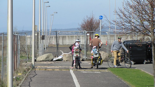
A great day was had by all – a handful of people from CityCyclingEdinburgh, four children (on the back of tandems, not their own bikes) and an interested observer.
The route (with a selection of photos).
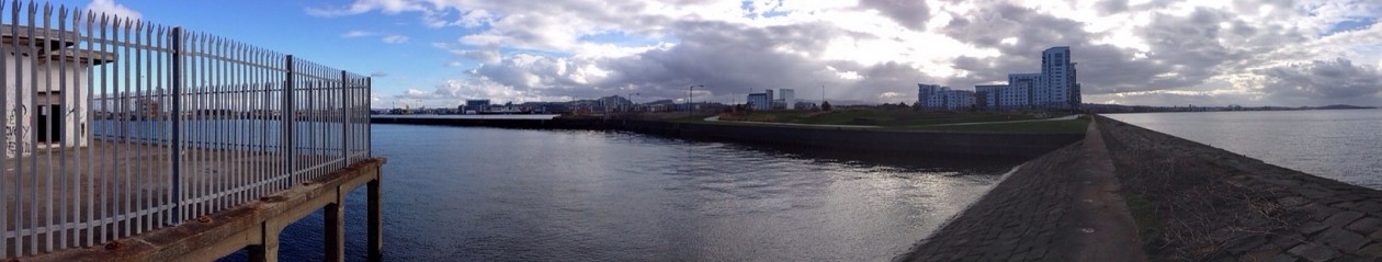
Clearly it’s already possible to cycle from Cramond to Portobello. It’s almost entirely flat and a high proportion is ‘off-road’, and there is plenty to see and many detours to take.
But it’s also obvious that there are some (relatively) ‘simple’ things that could (and should) be done to make it more attractive for any current users AND attract others to explore. Also (perhaps) make The Waterfront and Granton and Western Harbours more attractive places to live now – and attract future developments. It will be a long time before any of the Masterplans are finished, but a lot more can be done before the distant date of 2037!
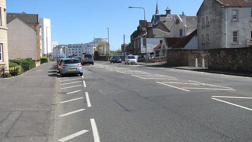
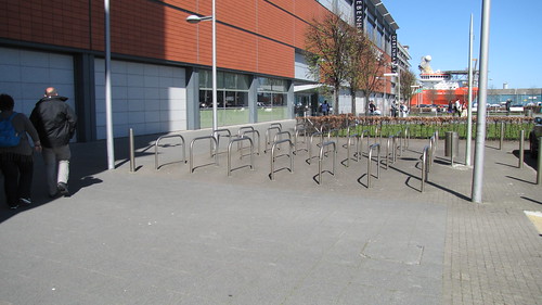
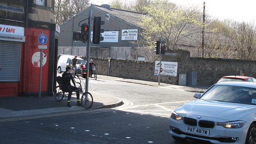
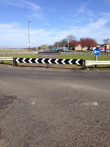
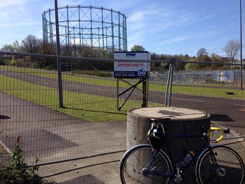
The first thing that ought to be done is advisory cycle lanes along West Shore and West Harbour Roads. (This photo shows where the road changes its name and also the important off-road route coming from the Red Bridge. Behind the camera is Granton Harbour Breakwater which will eventually be accessible at this point.)
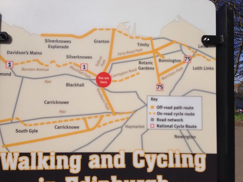
This map, which has recently appeared on a pole at Craigleith on the NEPN, clearly describes the section between the Silverknowes Prom and McKelvie Parade as “On-road cycle route” – so it would be good if that was more true! (The yellow line in the top centre of the map reaches the dotted lines at the point in the photo.)
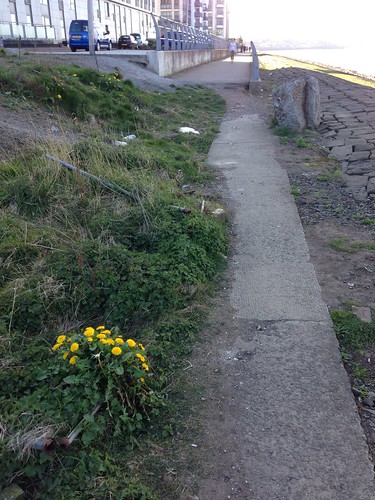
The section alongside Lower Granton Road could be off-road if CEC bought the parcels of land that it agreed to do 10 years ago.
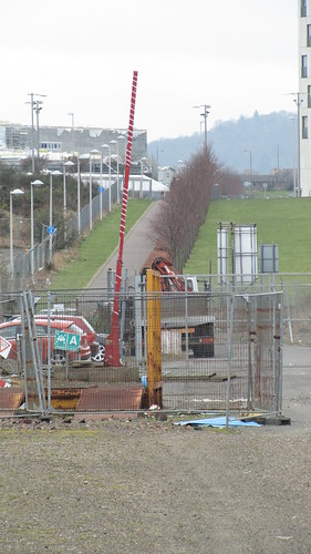
At Trinity Crescent there are currently fairly major road works which will make things much better with a signalled crossing for the first time to the NEPN spur that goes to Five Ways. This allows an off-road section from McKelvie Parade to The Shore (at Sandport Place) or to Newhaven at Hawthornvale.
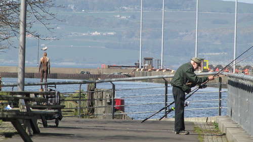
The direct Starbank Road – Pier Place road route could be a whole lot more pleasant, but that would require ‘difficult’ decisions about reallocating roadspace and altering the parking arrangements…
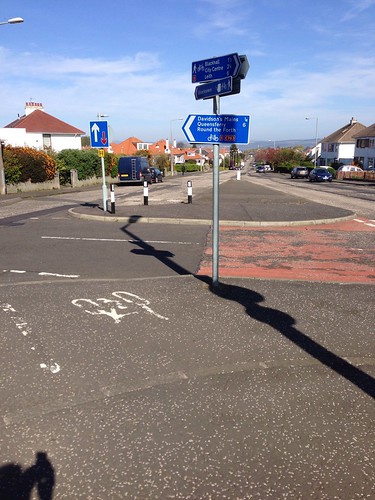
Ideally the roundabout at the end of Newhaven Main Street would be removed and a proper pedestrian/cycle crossing introduced.
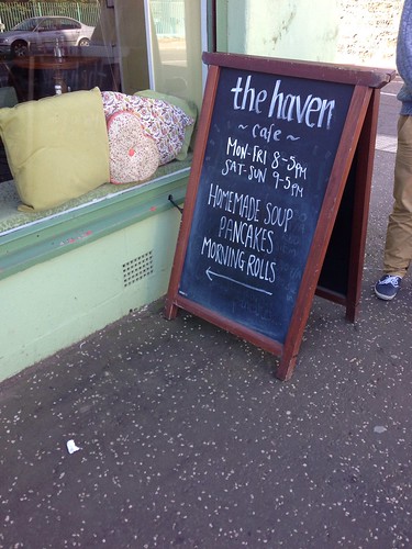
Lunch stop –
The walking/cycling route from ASDA to Ocean Terminal needs to be defined properly.
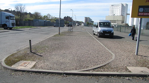
There are various bits of red tarmac showing previous attempts at a shared-use path route. Yesterday there were quite a lot of pedestrians so it’s not just a (potentially) good cycle route.
In front of OT there is a LOT of cycle parking
but the subtle silver cycle markers in the pavement only go to the entrance. After that it’s not clear where any ‘cycle route’ goes. At present, continuing along the front of OT takes people to the mouth of the multi-storey carpark. At this point it should be easier to cross over to reach the memorial to Thomas Hunter VC and Britannia Walk.
After this there is no clear next stage – we went through the waste ground and crossed over to the shared-use path. Of course this ends quite quickly –
The pavement is narrow but perhaps should officially become shared use (it’s only a short section).
A detour to experience the swing bridge
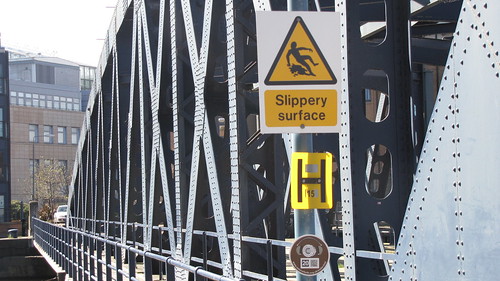
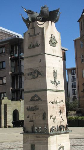
and Merchant Navy memorial is a good idea.
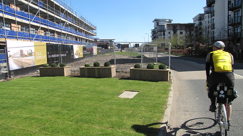
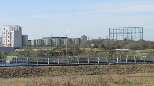
Back to Ocean Way, Cala is constructing new houses and there is plenty of land in front for a really good cycle path – but not known if one will appear.
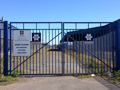
Past the casino is a dead end. On the right there will be a new Port of Leith Housing Association development and perhaps one day a route through to Bath Road –
and then on to Albert Road
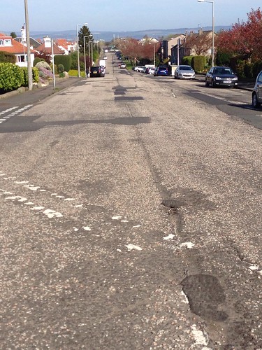
Without the option of the above route, (which would take people to Marine Esplanade), the options are Salamander Street and then Seafield Road (far too busy/fast to be remotely fun) or the Leith to Porty Family Network route (20).
This is currently undergoing a less than optimal upgrade.
The off-road path continues to Seafield Street and a controversial piece of compromised infrastructure.
Extra confusion caused by a van parked in front of the important dropped kerb access –
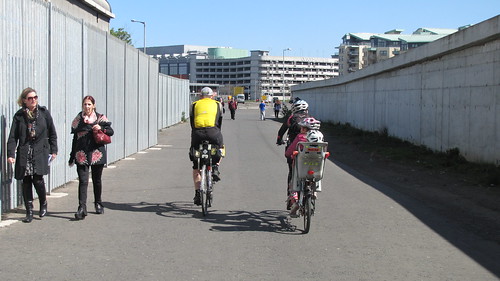
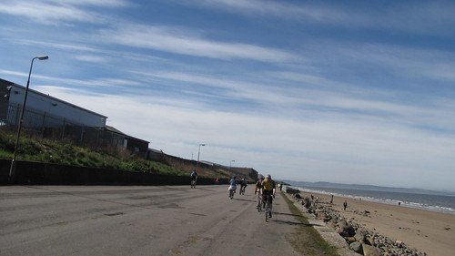
After this junction it’s on the great extra width shared path (currently being further improved towards Porty).
Turn the corner and there’s this view!
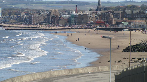
Followed by a well used bit of Prom –
Then (on a sunny day like yesterday) slow down for the crowds –
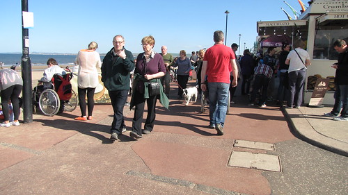
have some sustenance

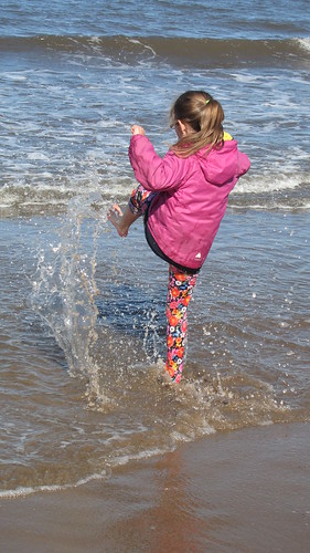
and enjoy the beach.
So that’s the ridable route from Cramond to Joppa, plus exploratory detours into Granton Harbour
Newhaven village

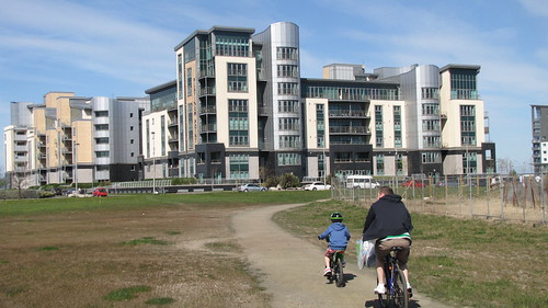
and Western Harbour
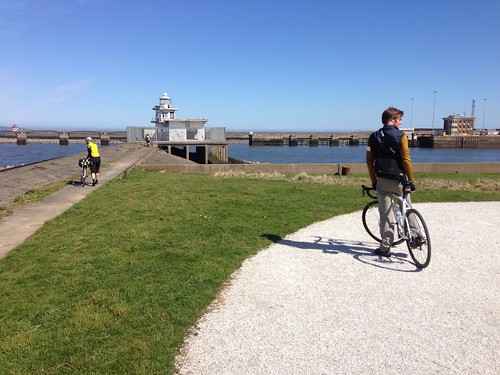
with Lighthouse Park at the end.
Getting to the Edinburgh Promenade is important too.
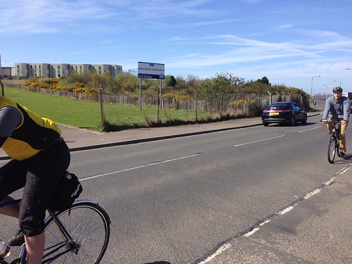
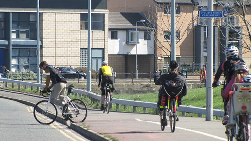
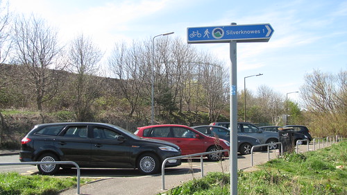
Many people get to the Silverknowes/Cramond end via the NEPN and Silverknowes Road
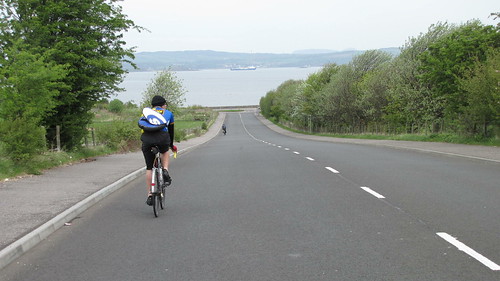
Would be nice if that could be created as a ‘proper’ cycle route. But that would require commitment and cash. The planned Family Network route goes from the Red Bridge to Cyclone at Gypsy Brae via Forthquarter Park.
An alternative is via Caroline Park which, currently includes this section

which is probably owned by the Council’s arms length company The EDI Group.
This doesn’t quite mesh with the recently created extension to the Silverknowes Prom, which in turn joins West Shore Road less than cleanly
That is one of the few signs with the Edinburgh Promenade logo – looking forward to a few more, perhaps even on the ‘interim’ route(s).
The ‘best’ route from the Red Bridge use the tunnel under West Granton Road and goes straight to Granton Harbour. One day it will be possible to continue straight onto the Breakwater
